Architects plan for Lynn waterfront's future

PRINT

February 16, 2016
By Thor Jourgensen/The Daily Item

He calls it “resilience” planning, but architect Arlen Stawasz’ vision of the Lynnway at the end of this century imagines the city’s waterfront resembling Venice with buildings constructed to be compatible with rising sea levels.

Stawasz, a Lynn resident, and fellow architect Tyler Hinckley of Swampscott selected the waterfront as the focus of a course they taught last fall. They challenged their students to come up with architectural plans and urban design ideas incorporating climate change and rising ocean levels.

“The entire waterfront of Lynn will be underwater by 2100,” said Stawasz.

That prediction is tempered somewhat, said city Economic Development and Industrial Corporation Director James Cowdell, by prospective waterfront developers who are carefully studying coastline flood conditions before they invest in projects.

“Anybody who comes forward looks at it very seriously before they invest money,” said Cowdell.

Cowdell shared the city’s waterfront development vision with Stawasz and Hinckley when the two designers decided to focus on Lynn in their Boston Architectural Collegecourse.
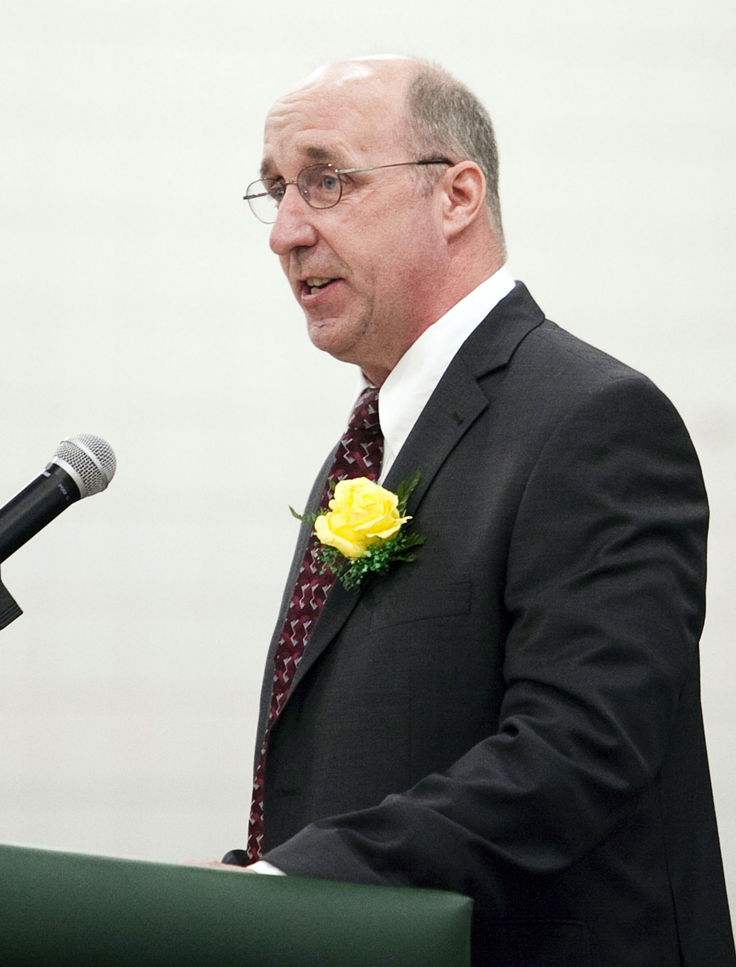
James Cowdell speaking at podium

Item File Photo

James Cowdell said relatively new Federal Emergency Management Agency maps for the Lynnway are used by developers, including the design team planning a major residential project on the waterfront across from North Shore Community College.

“I enjoyed working with the students,” he said.

The teachers and their students examined coastal building designs in Holland and Germany to map out construction concepts for a 22nd-century Lynn. Design ideas included a “flood-resistant” movie theater, athletic complex and firehouse as well as residential buildings.

“We reimagined the Lynnway as a multi-purpose barrier to resist flooding,” said Stawasz.

Cowdell said relatively new Federal Emergency Management Agency maps for the Lynnway are used by developers, including the design team planning a major residential project on the waterfront across from North Shore Community College.

FEMA maps for Lynn encompass 1,211 residential properties — almost 800 more than previous flood maps listed. The maps were updated even as federal flood insurance laws were updated last year from previous changes in 2012.
The map changes sparked residents’ outcries in 2014 about higher insurance premiums. FEMA, according to its website, publishes flood maps as part of its administration of the National Flood Insurance Program, a flood insurance source for home and business owners.

Even if ocean encroachment is decades away, Stawasz said it is not too early to “understand climate vulnerabilities.”
“This is a great opportunity to work on something people really haven’t talked about,” he said.

Thor Jourgensen can be reached at tjourgensen@itemlive.com


Back to News